
Province of Pesaro & Urbino
Province of Pesaro and Urbino
The area of Pesaro and Urbino forms the northernmost province of the Italian Region of Marche.
Landscape that Reflects the Historical Stratification
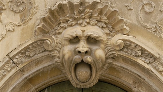
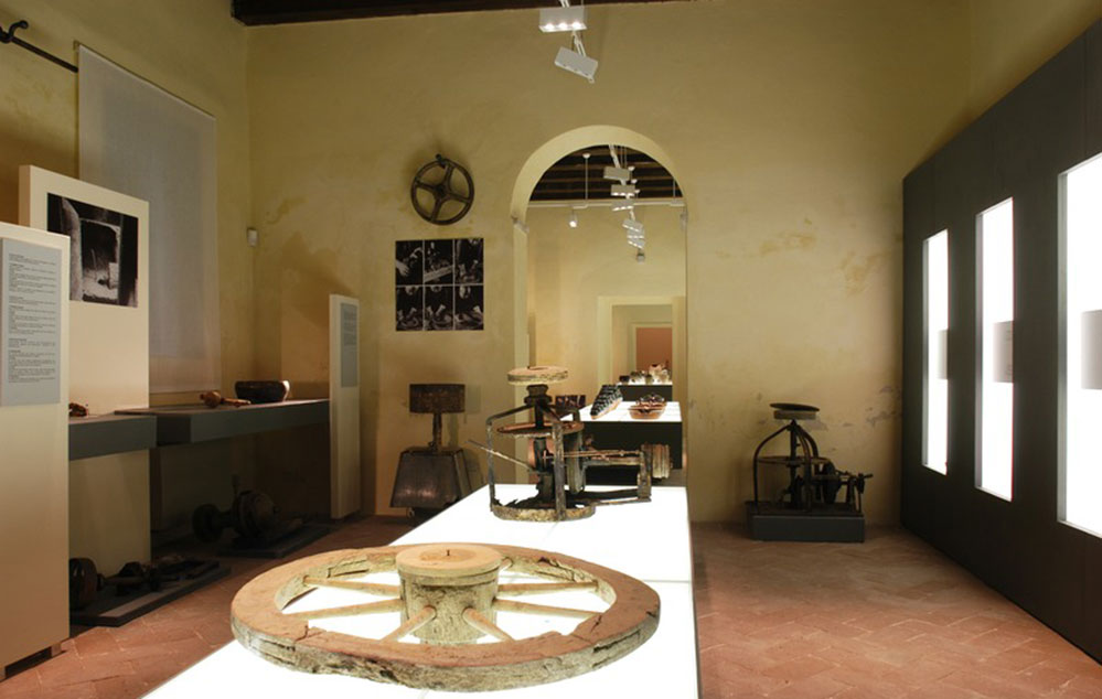
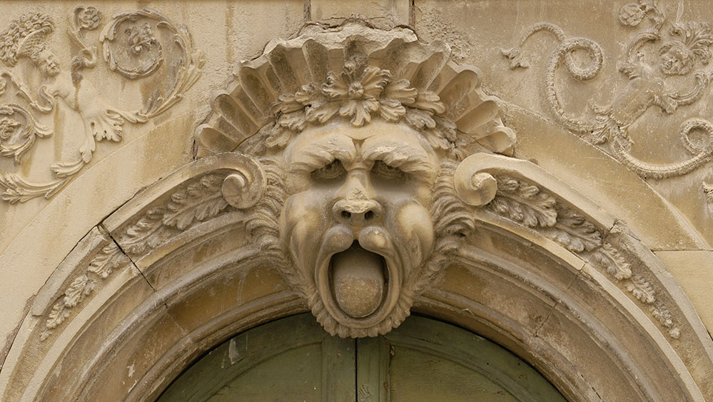
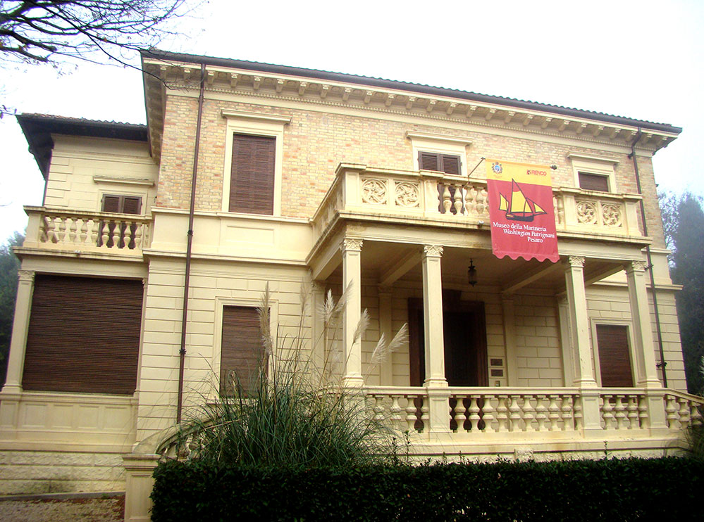
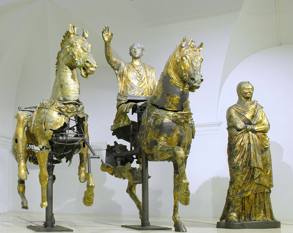
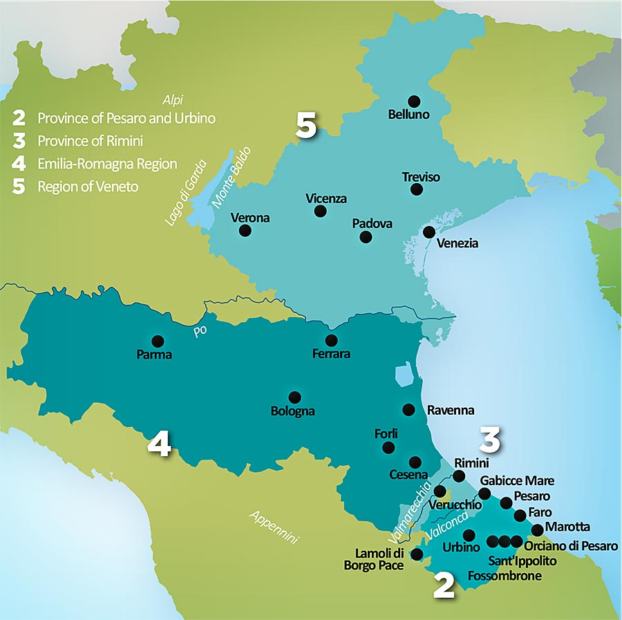
The area of Pesaro and Urbino forms the northernmost province of the Italian Region of Marche. The province dates from 1861 when Italy was united, and for 150 years already it covers 60 communes with about 366,000 inhabitants. It is situated between the Adriatic Sea and the Apennines, and the Italian regions Emilia-Romagna, Toscana and Umbria. All this underlines its major strategic importance, as well as ideal combination of features of central Italy. It has a very favorable morphology of territory - Apennine hinterland (the highest peak Mt. Catria 1,701 m) that descends towards the Adriatic, with mountains interspersed with river valleys and the 40-kilometer-long coastline from the town Gabicce Mare to Marotta. The landscape reflects the historical stratification, starting from the Roman period, which is witnessed by monuments, ruins, museum collections and archaeological sites. Specific features of the medieval period are numerous fortresses, abbeys and churches. The highlight of the Italian Renaissance is the city of Urbino (UNESCO World Heritage Site), native town of Raffaello Sanzi, who painted landscapes of Urbino.
The European Union is made up of 27 Member States who have decided to gradually link together their know- how, resources and destinies. Together, during a period of enlargement of 50 years, they have built a zone of stability, democracy and sustainable development whilst maintaining cultural diversity, tolerance and individual freedoms. The European Union is committed to sharing its achievements and its values with countries and peoples beyond its borders.