
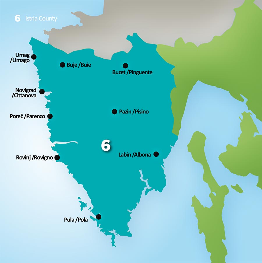
Istria County
Istria County
Istria is the largest peninsula in the Adriatic Sea, area where the Mediterranean Sea has deeply cut into the Continent of Europe, the green Mediterranean.
Rich Multicultural Region Shaped by the Sea and Seafaring
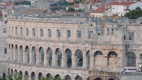
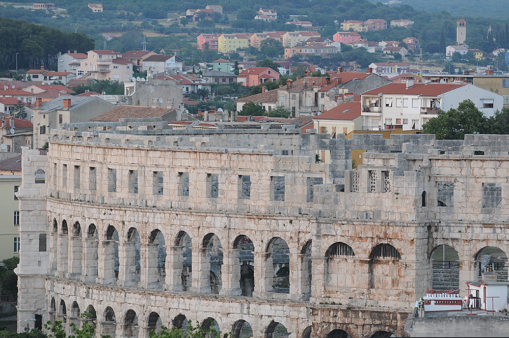
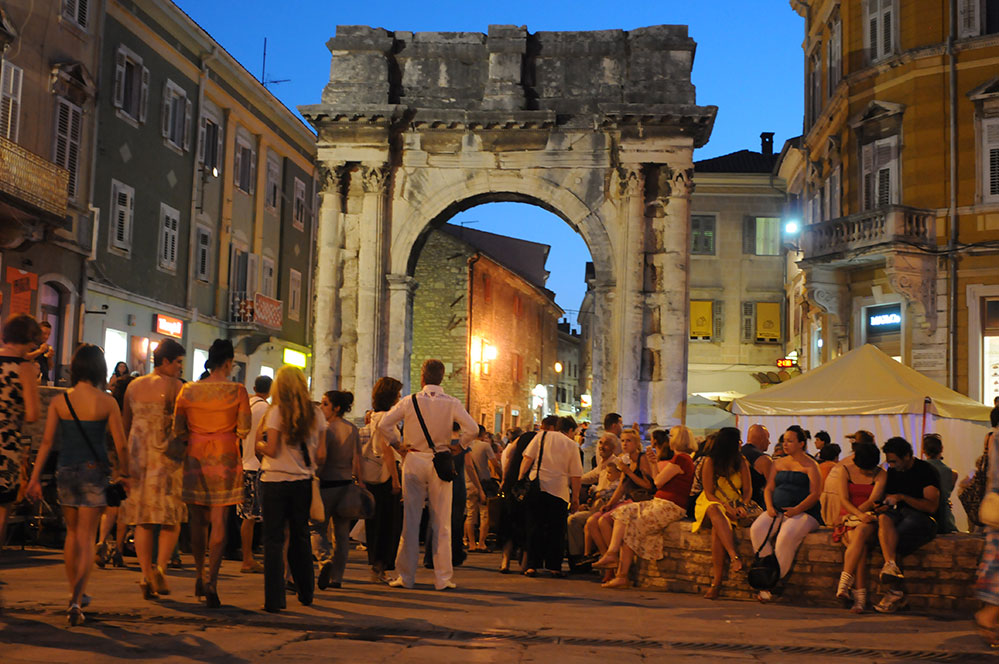
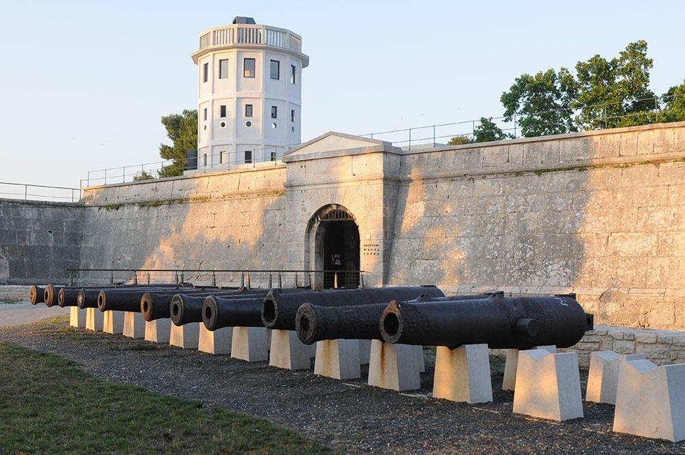
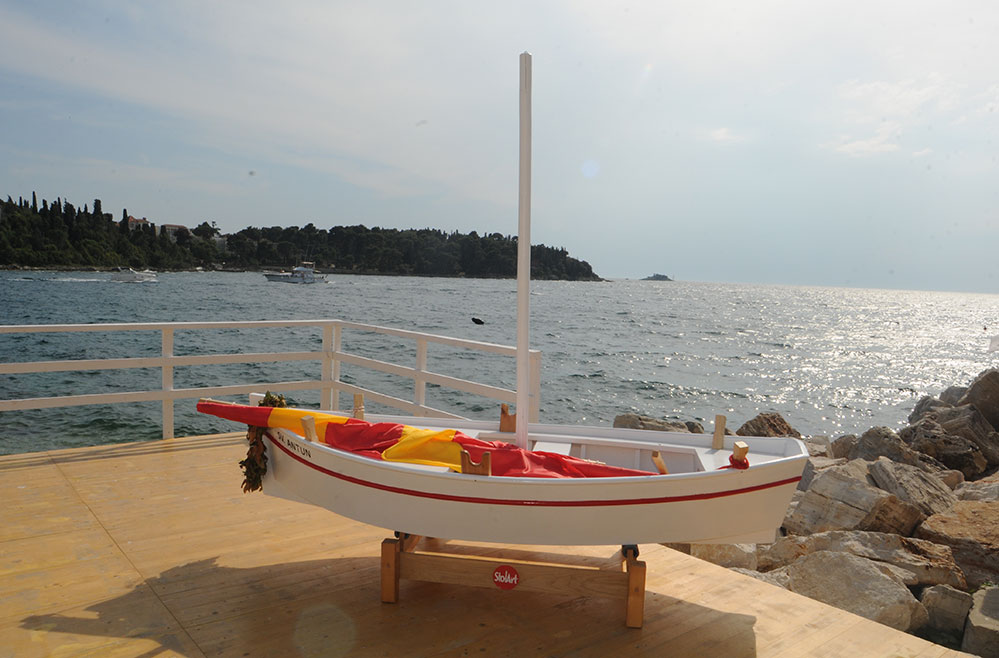
Istria is the largest peninsula in the Adriatic Sea, area where the Mediterranean Sea has deeply cut into the Continent of Europe, the green Mediterranean. Between these geographical facts and current tourist slogan, Istria presents a rich multicultural region essentially shaped by the sea and seafaring. So, whichever map of Istria we may study: geographical, historical, archaeological, ethnographical, cultural, tourist, gastronomy, enological…, each one reflects the rich civilizational and historical heritage, as well as a lot of evidence proving that the sea does not separate, but connects people and their cultures. Proof of this are mythical adventures such as the one about the voyage of Jason and the Argonauts who founded Pula, providing shelter by the freshwater source. Among the many historical records is the first "Circumnavigation or Coasting Voyage in the Adriatic" Periplus of Pseudo Skilak from the 4th century BC that describes navigation routes along the coast of Istria and dangerous local winds. For over a century, archaeologists, historians, ethnologists and sea-lovers have been constantly verifying and elaborating these first records, discovering and revealing new evidence about the blue cultural heritage of Istria. Shipwrecks, amphorae, anchors, little ports, remains of magnificent Roman villas, nautical charts, letters, postcards, flags, uniforms of sailors and officers... are just some of the material traces testifying to the millennia-long history of Istrian people connected with the sea. So, let's take a walk through Istria, visit its museums and museum events, or better yet - let's immerse into the historically rich Istrian part of the Mediterranean.
The European Union is made up of 27 Member States who have decided to gradually link together their know- how, resources and destinies. Together, during a period of enlargement of 50 years, they have built a zone of stability, democracy and sustainable development whilst maintaining cultural diversity, tolerance and individual freedoms. The European Union is committed to sharing its achievements and its values with countries and peoples beyond its borders.